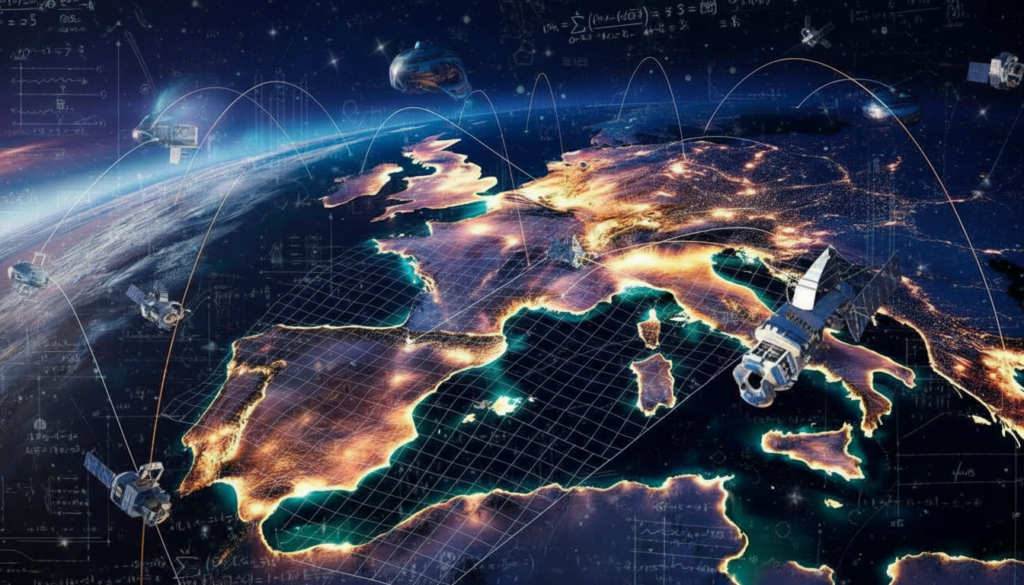
New satellite and seismic data show that the Iberian Peninsula, which is home to Spain and Portugal, is not moving as geologists have long thought. Instead, this continental block is now spinning the other way, changing how scientists think about Mediterranean tectonics and the risk of earthquakes.
From a block that moves to a pivot that won’t budge
The Mediterranean has a complicated history that goes deeper than what you can see. For tens of millions of years, several tectonic plates have been pushing, sliding, and colliding deep below the surface.
Iberia is an important part of that puzzle. The block that holds Spain and Portugal was ripped away when the North Atlantic Ocean opened. It was once welded to what is now western France. A spreading ridge pushed the two areas apart, making the Bay of Biscay and creating an independent Iberian microplate.

For a long time in geological history, this microplate turned counterclockwise while moving southwest. That movement helped push and crumple the crust, which helped the Pyrenees rise between Iberia and the rest of Europe.
The African plate was pushing north, the Eurasian plate was pushing south, and Iberia was stuck in the middle of the two plates when the modern Mediterranean basin started to form.
The new twist is that Iberia is still spinning, but this time it’s going clockwise instead of counterclockwise like it did before.
A slow-motion turn seen from space
It’s not easy to see such small movements. The African and Eurasian plates only move toward each other by 4 to 6 millimeters each year. That is slower than how fast nails grow.
Researchers used different types of evidence to figure out how Iberia is acting right now:
High-precision satellite positioning information (GNSS/GPS)
Measurements of strain in the crust, or how much the ground stretches or shrinks
Seismic “stress fields” deduced from earthquake focal mechanisms
Geological records of previous earthquakes (paleoseismology)
The study, which was published in the journal Gondwana Research, shows that the peninsula is not just being pushed north like a stiff raft. Instead, it acts like a rotating block that moves around in a crowded tectonic junction.
Redirected forces in Gibraltar
The Gibraltar Arc, which is the curved area around the Strait of Gibraltar and southern Spain, is where the African plate and the Iberian microplate meet.
Africa pushes almost straight into Iberia across the Atlantic margin to the west of the strait. As you move east toward the western Mediterranean, some of that compressive force is absorbed by the complex crust beneath the Gibraltar Arc.
It looks like the difference in forces between the west and east is causing Iberia to slowly twist in a clockwise direction.
This rotation is very small compared to how long humans live. A town on the Atlantic coast won’t suddenly see a different sunrise. But over tens of thousands or millions of years, the change in direction is important for how rocks break, how mountains form, and how earthquakes happen.
Why the change is important for earthquakes
To figure out how dangerous an earthquake is, you need to know how a plate or microplate moves. Stress builds up on faults in certain directions, which depend on how the plates in the area move.
The new rotation model gives us new information about a number of sensitive areas:
| Region | Key tectonic effect | Potential concern |
|---|---|---|
| Pyrenees | Renewed compression and local fault reactivation | Moderate but poorly constrained earthquake hazard |
| Southern Spain & Gibraltar | Complex deformation in the Gibraltar Arc | Capability for strong earthquakes, tsunami potential |
| Western Iberian margin | Direct contact with African plate forces | Offshore earthquakes affecting coastal cities |
Scientists can better figure out which structures are still active and which are now unlikely to slip in big events by comparing the directions of stress they see with known faults.

For instance, the new data helps tell the difference between faults in the Pyrenees that mostly allow for vertical uplift and those that can still move a lot horizontally. That difference affects the kind and strength of shaking that future earthquakes could cause.
The long story of the Mediterranean behind a small change
The current clockwise rotation is just one part of Iberia’s long tectonic journey, which is part of the larger Mediterranean story.
The Alpine Tethys ocean was where parts of the Mediterranean are now about 90 million years ago, in the Late Cretaceous period. When the North Atlantic opened, the African plate moved in a different way. Africa didn’t drift away from Europe; instead, it moved toward it.
Along subduction zones, the oceanic crust of the Tethys was pushed down into the mantle. Eventually, Africa hit Eurasia, which started the Alpine orogeny. This long process built the Alps and changed a lot of southern Europe.
Iberia moved, turned, and slid eastward by about 200 kilometers before settling close to where it is now, between these two giants. The Pyrenees, the Betic ranges in southern Spain, and the Rif mountains in Morocco all show how complicated that history is.
The new satellite-based rotation result doesn’t change that history; it just makes the most recent frame in a very long movie a little better.
Important words that help you understand the results
What geologists mean when they say “microplate”
A microplate is a small, rigid piece of the Earth’s outer shell that moves on its own, but is smaller than a major plate like Africa or Eurasia. Iberia is a good example because it has clear borders and movement patterns, but it is still part of the larger plate mosaic.
Ocean ridges: orogenic belts, and faults that are active
Oceanic ridge: A long chain of underwater mountains where new oceanic crust forms as plates pull apart. The Mid-Atlantic Ridge: for example, helped separate Iberia from France.
Orogeny: A long period of mountain building that happens when two plates collide or one plate goes under another. The Alps, Pyrenees, and other ranges were made by the Alpine orogeny.
Active fault: A crack in the crust that can still cause earthquakes because stress keeps building up and breaking through the friction along it.
What does this mean in real life?
The new results don’t mean that people in Madrid, Lisbon, or Barcelona are in immediate danger. The risk of earthquakes in this area is still moderate compared to, say, Turkey or Japan. Building codes and emergency plans in Spain and Portugal already take into account a number of situations based on known fault systems.
The real change comes from risk maps that are more accurate. Updated seismic hazard assessments are important for insurance models, planning infrastructure, and building nuclear or large industrial facilities. A better description of how Iberia moves makes those numbers more precise, especially for southern Spain, the Pyrenees, and coastal areas near Portugal’s Atlantic margin.
There are also scientific benefits besides just avoiding danger. The Mediterranean is a natural laboratory for studying how plates interact at different points in the collision and subduction process. Geophysicists can use the current motion of Iberia as a more reliable starting point for simulations that show how the region might change over millions of years.
How scientists look at possible future events
Geodynamic models use current stress patterns and movements and run them forward in time. Researchers can test different futures for Iberia and its neighbors by changing the speeds of the plates, the thickness of the crust, and the properties of the mantle. Will subduction zones move even further into the Mediterranean? Will compression move north into Europe? Will new faults appear while old ones get stuck?
Even though these time frames are too long for people to plan for, the same models can be used to answer shorter-term questions. For example, they can figure out where the strain is currently focused and if a certain fault system is probably taking on more of the load. This, along with historical earthquake records, helps find parts of the fault that may be getting close to breaking.
The image that comes to mind is of a peninsula that is not stable or just moving north, but is instead turning under uneven pressure from Africa and the larger Eurasian plate. Iberia is still quietly rewriting its own geological story, one millimeter of rotation at a time, even though it is proud of its long history.