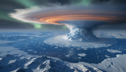
On a gray February morning in Chicago, the cold didn’t just sting, it felt sharp enough to etch itself into your memory. Dogs wouldn’t leave the door, buses let out steam like tired dragons, and everyone walked a little faster, as if speed alone could outsmart the wind. Local weather alerts went off all night, but by morning the story had changed. This wasn’t just a random cold snap; it was a sign of a big change that was happening miles above our heads.
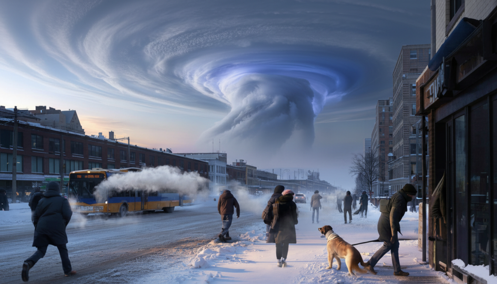
The polar vortex itself is starting to move and twist in ways that even experienced scientists say are almost unheard of for this time of year.
That’s when the story gets weird.

The sky above the weather is quietly rearranging itself
Right now, looking at a satellite map of the Northern Hemisphere is like watching a spinning top start to wobble in slow motion. The polar vortex, which is a tight whirl of cold air that usually stays over the Arctic, is stretching and moving earlier and more violently than it usually does in late winter.
Meteorologists are looking at pressure charts that are glowing in deep purples and blues, and some of them are posting on social media that they are really surprised. The vortex isn’t just getting weaker this February. They say that the strength it is being pulled and twisted with is only seen in the record books a few times.
After the harsh winter of 2013–2014 in North America, the phrase “polar vortex” became very popular. People shared pictures of frozen eyelashes, water that boiled and turned to ice in the air, and car doors that were frozen shut by sheets of frost. That event happened because a vortex was messed up, which let Arctic air flow south and caused dangerous wind chills that killed people in cities from Minneapolis to New York.
Now, experts at places like the European Centre for Medium-Range Weather Forecasts and NOAA are seeing signs that are eerily familiar but also bolder in some ways. Some models show the upper-level vortex being squeezed and moved with a force that is almost as strong as the worst February events on record.
It’s not a sci-fi disaster; it’s just physics doing what it does. High above the surface, waves of energy generated by mountains, oceans, and land–sea contrasts are punching upward into the stratosphere. Those waves don’t just vanish. They break, they twist, they shove the polar vortex off balance.
When that push is strong enough, the vortex can split or slide away from the pole, unlocking Arctic cold and sending it wandering into regions that weren’t planning on dealing with -20°C wind chills this month. And that’s the worry: **this February’s wave energy looks unusually strong for this point in the season**.
What this unusual change at the start of the season could mean for you
People who are trying to plan their lives—flights, heating bills, school schedules, that one weekend trip—should pay attention to this kind of high-altitude drama. The first thing experts say to do when the polar vortex moves is surprisingly simple: take it easy and plan for a longer time. Look past the usual three-day app forecast and glance at the 10–14 day outlooks from your national weather service.
If you live in the central or eastern United States, large parts of Europe, or East Asia, this is the moment to mentally prepare for a swing. It might be a sudden plunge into a late-winter freeze. It might be endless gray, freezing rain, or snowstorms threading narrow paths across the map. The specifics are still fuzzy, but the background risk just went up a notch.
We’ve all been there, that moment when you smugly put away the heavy coat because the sun finally came out for two days in a row. This kind of early-season polar vortex jolt is the exact reason seasoned locals leave one bin of serious winter gear by the door until at least mid-March.
In 2018, for example, a similar disruption helped fuel the “Beast from the East” that slammed Europe with snow and icy winds when people were already dreaming of spring. Trains stalled, schools closed, and photos of snow-covered Rome circled the world. Right now, some model suites are hinting at setups that rhyme with those patterns, even if they won’t copy them exactly. That’s why forecasters are talking a little more urgently than usual for a mid-February pattern shift.

The science behind all this can sound abstract, but the logic is pretty straightforward. A strong stratospheric disruption doesn’t guarantee a severe surface cold wave in your backyard. It tilts the odds. Think of it as the atmosphere loading the dice so that, over the next two to six weeks, cold and blocking patterns become more likely in certain regions.
The polar vortex is not your daily weather app. It’s a background player setting the tone of the season: storm tracks, pressure patterns, where the jet stream wiggles and stalls. **When that background player suddenly changes script, the weather down here tends to follow**, even if the timing and intensity keep forecasters up at night. *This February, that script rewrite looks stronger, faster, and more unusual than what most of us are used to hearing about.*
How to read the signals without spiraling into panic
If you’re trying to stay informed without doomscrolling, start with one simple habit: follow trusted, science-based outlets and ignore the most dramatic headlines with no data behind them. Check your national meteorological service first, then maybe one or two independent meteorologists who actually post charts and explain them in plain language.
Watch for three things in their updates: mentions of “stratospheric warming” or “major SSW,” discussion of the jet stream buckling, and maps showing high pressure building over the Arctic. These are the fingerprints of a serious polar vortex disturbance. When those show up together, that’s your cue to nudge your plans, not your anxiety.
A lot of us yo-yo between complete indifference to long-range forecasts and full-on alarm when the word “vortex” trends again. Both extremes are exhausting. The more useful middle ground is accepting that forecasts grow fuzzier the further out you go, but patterns still carry weight.
Let’s be honest: nobody really reads the full technical discussion on the weather service site every single day. That’s okay. Skim the headlines, glance at any “outlook” or “hazard” sections, and then translate that into simple moves: delay that long drive by a day, keep a backup work-from-home plan, check your insulation and pipes before a possible freeze. It’s about gentle, practical adjustments, not living in fear of every cold front.
“From a stratospheric perspective, what we’re seeing this February is close to a textbook major disruption — just shifted a bit earlier and with an intensity that pushes it toward the historical upper end,” explains one atmospheric scientist who has been tracking these patterns for two decades. “That doesn’t mean a guaranteed repeat of past disasters, but it absolutely raises the stakes for late-winter weather across the mid-latitudes.”
- Follow your official national meteorological service for alerts and medium-range outlooks.
- Keep one reliable winter kit ready: warm layers, batteries, backup phone charger, basic food and water.
- Check in on neighbors who might struggle with sudden cold snaps, especially older adults or families with babies.
- Adjust travel plans early if a major cold wave or snowstorm is flagged in the 5–10 day window.
- For the weather-curious, track stratospheric updates from reputable climate and weather scientists, not random viral threads.
A rare signal in a warming world
There’s a quiet, unsettling irony to all this. We live in a rapidly warming climate, with global mean temperatures nudging record after record, and yet here we are talking about exceptional cold risks linked to an overpowered stratospheric event. Both can be true at the same time. The baseline is warming, while the swings — the extremes — are getting weirder.
For many scientists, this polar vortex episode is another data point in a messy, evolving story about how Arctic change, ocean warmth, and atmospheric waves interact. For the rest of us, it’s a reminder that winter doesn’t follow our calendars or our wishful thinking. It follows physics, and physics doesn’t care that the cafés have already put out the spring menus.
This February’s nearly unprecedented upper-level shift might pass as a fascinating near-miss, or it might etch itself into the memory of millions as “that late winter when everything suddenly flipped.” Either way, it invites a simple question worth sharing and debating: in a world of rising averages and wilder swings, how do we adapt our daily lives — our homes, cities, habits — to a climate that’s no longer playing by the old, familiar rules?
| Rare early-season polar vortex disruption | Stratospheric data show an unusually strong February shift, close to historic extremes | Helps you understand why experts are sounding more alert than usual this late in winter |
| Possible late-winter pattern flip | Higher odds of cold spells, snow, and blocked weather patterns in parts of North America, Europe, and Asia | Guides decisions about travel, heating, and everyday planning over the next few weeks |
| Practical, calm preparation | Focus on trusted forecasts, basic winter readiness, and flexible plans rather than panic | Reduces stress while keeping you realistically prepared for sudden weather shifts |
FAQ:
Question 1What exactly is the polar vortex, in simple terms?
Answer 1It’s a huge ring of cold, low-pressure air high over the Arctic, spinning like a massive atmospheric top and helping keep the cold locked near the pole when it’s stable.
Question 2Does a disrupted polar vortex always mean extreme cold where I live?
Answer 2No. It raises the chances of cold outbreaks in certain regions, but local impacts depend on how the jet stream and pressure systems line up over the following weeks.
Question 3Why are experts saying this February event is nearly unprecedented?
Answer 3Because the strength and pattern of the upper-level disruption show up at the very strong end of what’s been observed in February over the past several decades.
Question 4Is climate change causing this polar vortex shift?
Answer 4The short answer is that the climate system is changing, and there’s active research on links between Arctic warming and vortex disruptions, but scientists don’t all agree on the exact cause-and-effect yet.
Question 5What should I actually do in response to this forecast?
Answer 5Stay tuned to official forecasts in the 5–14 day window, keep winter essentials handy, plan travel with some flexibility, and look out for vulnerable people around you during any cold spells.