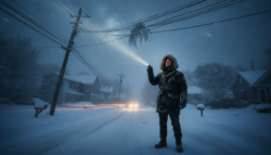
People in cities from Chicago to Berlin have been lulled into thinking winter is fading because of unseasonably mild days. At the same time, atmospheric models are lighting up with signs of a strong, late-season shake-up in the polar vortex. What seems calm at street level is hiding a big plot twist 30 kilometres above the pole.
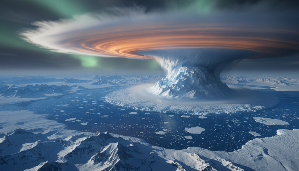
A spinning top is having trouble over the Arctic
The polar vortex is a huge whirl of icy air that moves from west to east at speeds of more than 200 km/h around the Arctic. In a normal winter, it acts like a cold wall that keeps the worst of the Arctic chill from getting out.
That barrier is about to break this February.
Satellite readings and advanced forecast models are showing a rapid warming in the stratosphere over the pole, with temperatures in some areas projected to jump by 40–50 °C in just a few days. Meteorologists call this a sudden stratospheric warming, or SSW. The event that is about to happen looks like it will be very strong for this time of year.

Some experts say that the expected wind reversal is “borderline off the charts” because a polar vortex disruption of this strength that happens in February instead of mid-winter is so rare.
At major forecast centers, model runs keep showing the same scary picture: the once-solid vortex either splits into two lobes or gets pushed off the pole completely. Some situations push cold air toward Siberia. Others pull a chunk of the vortex down into Canada and the northern United States, or angle it toward Europe.
What is really messing up the polar vortex?
The atmosphere below the vortex is sending strong wave patterns up into the sky. This is because of stubborn high-pressure systems over the North Pacific and Eurasia and areas of ocean that are warmer than normal. Like a hand on a spinning top, these waves push against the vortex.
First, they make the vortex move more slowly.
Then they push it to the side.
Finally, they can break it or move it.
When the vortex weakens or breaks up, Arctic air is no longer neatly contained. It spills south in uneven blobs, guided by a jet stream that has been twisted into deeper loops. That’s when the calm, strangely mild weather in February can turn into late-season blizzards, ice storms, or rain-on-snow events that cause problems.
When the stratospheric winds change from strong westerlies to strong easterlies, major changes on the surface often happen 10 to 20 days later.
Why this February disruption is so rare
It’s not new for the stratosphere to suddenly warm up. They appear in the data about once every other winter. This time, the timing and the expected strength are both important.
Most of the biggest SSW events happen in January, which is right in the middle of the season. In February, when the sun is coming back and the ground is starting to thaw in many places, this disruption is getting worse. The clash between the cold air above and the landscape that is getting ready for spring can make temperature differences sharper and storms stronger.
Reanalyses that go back a few decades show that only a few winters have had a wind reversal in the stratosphere in February on this scale. That rarity sets off alarms for forecasters who are used to looking at long-term data.
Climate change and “warped” winters
A warming climate is the setting for this event. That doesn’t mean climate change is directly causing the disruption, but it is changing how people experience it on the ground.
Average temperatures that are higher mean that snow cover is less reliable, air can hold more moisture, and there are more noticeable swings between mild spells and short, sharp cold snaps. So, when a polar vortex disruption sends cold south, it might come in a more chaotic and unstable way instead of as a long, steady freeze.
Winter hasn’t been cancelled by climate change; instead, it has become moodier, with bigger differences and more sudden changes.

What this could mean for your street and your heating bill
A polar vortex disruption doesn’t give each postcode a specific weather script. It shifts the odds. You could think of it as loading the dice so that some areas have colder, more changeable weather.
Meteorologists expect:
10 to 20 days later, there is a better chance of colder-than-average weather in much of Europe, the US, and Canada.
More likely to snow, especially in places that already get a lot of winter storms.
More extreme temperature changes, with quick drops after warm days.
For southern Europe and the southern US, the effects are less dramatic, but the temperatures will go up and down more often.
That change is important for energy grids. People are more likely to turn down the heat and do less maintenance when the weather is mild. If a sudden cold snap happens on top of that complacency, demand can rise quickly, putting stress on old infrastructure. The Texas freeze of 2021, which followed a distorted vortex pattern, showed how weak some systems can be.
What we learned from “the Beast from the East” and Texas in 2021
The UK went from early daffodils to gridlock in February 2018 when air from Siberia moved west after a strong SSW. People quickly started calling the episode the “Beast from the East.” As the snow piled up against doors that had been wide open a week before, trains stopped, roads froze, and supermarket shelves emptied.
In 2021, Texas had a different but just as shocking outcome. A stretched polar vortex helped push cold Arctic air all the way down south. Power plants and pipes that weren’t built to handle that level of cold failed one after the other, leaving millions without power or running water.
This event in February doesn’t mean that either of these things will happen again. But the weather pattern that came before them looks all too familiar to people who are keeping an eye on this year’s problems.
How to read the next few weeks without getting scared
It’s hard for most people to find the time to look at stratospheric wind charts. There are, however, a few simple signs that can help you make good use of this information.
| Term | What it means | Why it matters now |
|---|---|---|
| Polar vortex | Large-scale circulation of cold air around the Arctic in the stratosphere. | Its weakening or splitting opens the door for Arctic air to move south. |
| Sudden stratospheric warming (SSW) | Rapid warming high above the pole that disrupts the vortex. | Acts as the trigger for the event currently unfolding. |
| Jet stream | Fast-flowing river of air in the upper atmosphere. | Guides storm tracks; deep loops can pull cold or warm air into new regions. |
| Blocking high | Persistent high-pressure zone that stalls weather patterns. | Can lock colder air in place once it arrives. |
Keep an eye on the 10–20 day window. That’s when the most likely surface effects of the disruption will happen.
Look through the forecasts for words like “pattern change” or “Arctic outbreak”: These are usually the times when the SSW starts to have an effect on the weather.
Check local weather alerts: National weather services usually warn people about higher chances of snow, ice or storms a few days in advance.
Be flexible with your travel plans. If you can, buy tickets that are easy to change in late February and early March.
Revisit your basic winter preparations: insulation, draught stoppers, and pipe protection are all less expensive than emergency repairs.
Think of the next few weeks as a “second chance winter.” Even if you’ve already moved on to spring in your mind, there could be another round of real cold.
Things you can do every day that really help
A polar vortex headline can be made easier to deal with for families by doing a few small things:
Instead of putting away a heavy coat, hat, and gloves, keep them close by.
Put an ice scraper in the car and a bag of salt or grit near the steps or driveway.
Call older neighbours or family members to see how their heating and supplies are doing.
If your area is likely to lose power, look into backup options like battery packs or other safe ways to heat your home.
Changing your expectations is important for your mind. People often think winter is over after the first warm spell in February. When the temperature drops again, it feels like the sky is personally insulting you instead of a known risk during a polar vortex disruption.
Important words that forecasts will use
In the next two weeks, weather updates are likely to use some technical terms over and over again. If you understand them, you won’t just be confused by all the jargon.